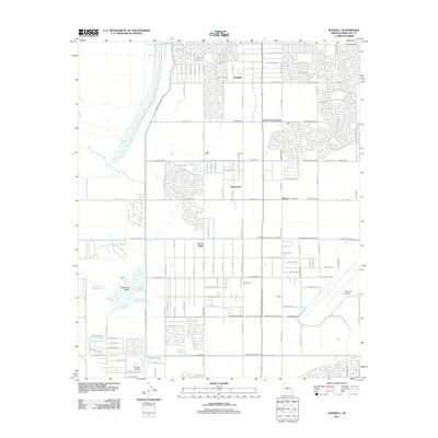
2011 Map of Waddell
USGS Topo · Published 2011About this map
Citrus Park and Waddell anchor this West Valley landscape, illustrating the rapid suburbanization of Maricopa County during the early 21st century. The map reveals an intricate grid of modern residential developments interspersed with older infrastructure and aviation sites, such as Coyner Airstrip and Litchfield Airport. The transition from rural agricultural plots to denser neighborhood blocks is evident as new streets like W Hearn Rd and W Gelding Dr expand north of established areas like Fennemore and Wayne.
Find a feature on this map
86 named features on this map. Tap any name to fly to it.
Don’t see what you’re looking for? This feature index may not catch every label — zoom into the map to look around manually.
Map Details
Editions of this 2011 Waddell Map
This is the sole edition of this map. No revisions or reprints were ever made.
Other maps of this area

1946 · Avondale
USGS Topo · 1:62,500

1948 · Cashion
USGS Topo · 1:62,500

1954 · Phoenix
USGS Topo · 1:250,000

1957 · Phoenix
USGS Topo · 1:250,000

1957 · White Tank Mts. SE
USGS Topo · 1:24,000

1957 · Valencia
USGS Topo · 1:24,000

1957 · Perryville
USGS Topo · 1:24,000

1957 · White Tank Mts. NE
USGS Topo · 1:24,000

1957 · Calderwood Butte
USGS Topo · 1:24,000

1957 · McMicken Dam
USGS Topo · 1:24,000