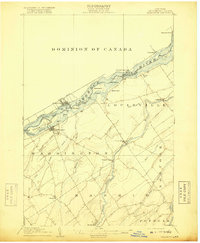
1905 Map of Waddington
USGS Topo · Published 1918About this map
Waddington serves as the focal point of this riverfront landscape, situated along the southern banks of the ST Lawrence River. The era is defined by heavy maritime and rail activity, with the Morrisburg Canal and Farrans Point Canal facilitating navigation around the river's treacherous rapids. Across the water, the Grand Trunk railroad runs through Morrisburg in the Dominion of Canada, while the American interior is characterized by agricultural hamlets such as Chase Mills and Chamberlain. The map captures the complex geography of the river before modern seaway developments, showing large islands like Ogden Island and Plat Rapide Island as they appeared in the early 20th century. Inland, the courses of the Grass River and Raquette River flow toward the border, sustaining small settlements like Madrid and Chipman in a network of creeks and brooks.
Find a feature on this map
60 named features on this map. Tap any name to fly to it.
Don’t see what you’re looking for? This feature index may not catch every label — zoom into the map to look around manually.
Map Details
Editions of this 1905 Waddington Map
5 editions found
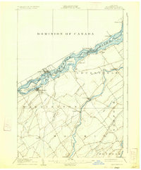
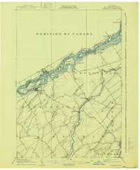
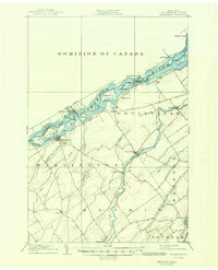
Other maps of this area

1904 · Lisbon
USGS Topo · 1:48,000

1904 · Ogdensburg
USGS Topo · 1:62,500

1905 · Waddington
USGS Topo · 1:62,500

1905 · Ogdensburg
USGS Topo · 1:62,500

1906 · Red Mills
USGS Topo · 1:62,500

1906 · Massena
USGS Topo · 1:62,500

1907 · Massena
USGS Topo · 1:62,500

1908 · Potsdam
USGS Topo · 1:62,500

1910 · Canton
USGS Topo · 1:62,500

1911 · Canton
USGS Topo · 1:62,500