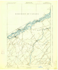
1905 Map of Waddington
USGS Topo · Published 1933About this map
The St Lawrence River serves as the dominant boundary in this 1904 survey, delineating the frontier between the United States and Canada. Along the New York shore, the village of Waddington is a focal point of commerce and geography, situated just south of the expansive Ogden Island and the navigable Little River. The river's character is defined by a series of significant islands and navigational infrastructure, including the Plat Canal and Farrans Point Canal, which bypass the challenging Rapide Plat.
Find a feature on this map
53 named features on this map. Tap any name to fly to it.
Don’t see what you’re looking for? This feature index may not catch every label — zoom into the map to look around manually.
Map Details
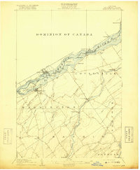
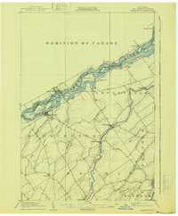
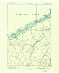
Editions of this 1905 Waddington Map
5 editions found
Other maps of this area

1904 · Lisbon
USGS Topo · 1:48,000

1904 · Ogdensburg
USGS Topo · 1:62,500

1905 · Waddington
USGS Topo · 1:62,500

1905 · Ogdensburg
USGS Topo · 1:62,500

1906 · Red Mills
USGS Topo · 1:62,500

1906 · Massena
USGS Topo · 1:62,500

1907 · Massena
USGS Topo · 1:62,500

1908 · Potsdam
USGS Topo · 1:62,500

1910 · Canton
USGS Topo · 1:62,500

1911 · Canton
USGS Topo · 1:62,500