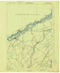
1905 Map of Waddington
USGS Topo · Published 1940About this map
The St Lawrence River serves as a busy international borderland in this early twentieth-century survey, where the Dominion of Canada and United States border splits the waterway. The landscape is defined by the complex river navigation of the era, featuring the Ontario Rapide and essential bypass infrastructure like the Farrans Point Canal and the Plat Canal. On the American shore, Waddington sits opposite Ogden Island, while the Canadian side is marked by the Grand Trunk railway connecting towns like Morrisburg and Aultsville.
Find a feature on this map
56 named features on this map. Tap any name to fly to it.
Don’t see what you’re looking for? This feature index may not catch every label — zoom into the map to look around manually.
Map Details
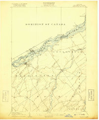
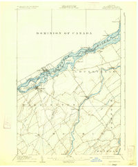
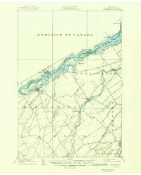
Editions of this 1905 Waddington Map
5 editions found
Other maps of this area

1904 · Lisbon
USGS Topo · 1:48,000

1904 · Ogdensburg
USGS Topo · 1:62,500

1905 · Waddington
USGS Topo · 1:62,500

1905 · Ogdensburg
USGS Topo · 1:62,500

1906 · Red Mills
USGS Topo · 1:62,500

1906 · Massena
USGS Topo · 1:62,500

1907 · Massena
USGS Topo · 1:62,500

1908 · Potsdam
USGS Topo · 1:62,500

1910 · Canton
USGS Topo · 1:62,500

1911 · Canton
USGS Topo · 1:62,500