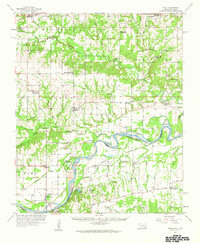
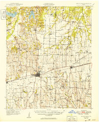
1957 Map of Wade
USGS Topo · Published 1959About this map
The Red River carves a winding path along the Oklahoma Texas border in this mid-century survey, defining the landscape between Bryan Co and Fannin Co. The transition from the upland prairies of Bokchito and Bennington down to the bottomlands reveals a series of oxbow features and riverine landmarks like Popes Point and Sowells Bluff. The map preserves the traces of a rural educational network that was already beginning to fade, noting the Beames Sch (Abandoned) and Manning Sch (Abandoned) alongside the active Bray-Maxwell Sch.
Find a feature on this map
59 named features on this map. Tap any name to fly to it.
Don’t see what you’re looking for? This feature index may not catch every label — zoom into the map to look around manually.
Map Details
Editions of this 1957 Wade Map
This is the sole edition of this map. No revisions or reprints were ever made.
Other maps of this area

1899 · Atoka
USGS Topo · 1:125,000

1900 · Atoka
USGS Topo · 1:125,000
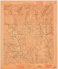
1901 · Antlers
USGS Topo · 1:125,000
1903 · Paris
USGS Topo · 1:125,000
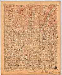
1912 · Antlers
USGS Topo · 1:125,000
1925 · Antlers
USGS Topo · 1:125,000
1947 · Honey Grove
USGS Topo · 1:62,500
1948 · Direct
USGS Topo · 1:62,500
1949 · Direct
USGS Topo · 1:62,500
1949 · Honey Grove
USGS Topo · 1:62,500