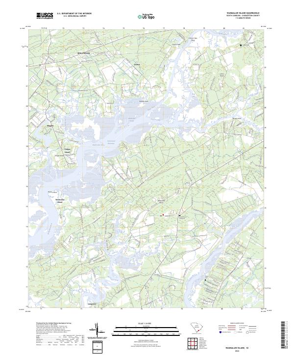
2024 Map of Wadmalaw Island
USGS Topo · Published 2024About this map
The Wadmalaw Island landscape is defined by the intricate winding of the Stono River and Wadmalaw River, creating a complex network of marshes and tidal creeks such as Church Creek and Bohicket Creek. This contemporary survey illustrates the persistent agricultural and plantation-style layout of the South Carolina Lowcountry, where large tracts like Stono Plantation Dr and Dixie Plantation Rd remain prominent. The Intracoastal Waterway cuts through the Wadmalaw Sound, serving as a vital artery for modern maritime traffic while bypassing traditional waterfront landings.
Find a feature on this map
139 named features on this map. Tap any name to fly to it.
Don’t see what you’re looking for? This feature index may not catch every label — zoom into the map to look around manually.
Map Details
Editions of this 2024 Wadmalaw Island Map
This is the sole edition of this map. No revisions or reprints were ever made.
Other maps of this area

1918 · Kiawah Island
USGS Topo · 1:21,120

1918 · Cottageville
USGS Topo · 1:62,500

1919 · Johns Island
USGS Topo · 1:21,120

1919 · Edisto Island
USGS Topo · 1:62,500

1919 · Wadmelaw Island
USGS Topo · 1:62,500

1919 · Legareville
USGS Topo · 1:21,120

1920 · Ravenels
USGS Topo · 1:62,500

1943 · Cottageville
USGS Topo · 1:62,500

1943 · Legareville
USGS Topo · 1:24,000

1943 · Edisto Island
USGS Topo · 1:62,500