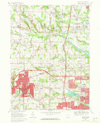
1969 Map of Wadsworth
USGS Topo · Published 1971About this map
The industrial and suburban expansion of northeastern Ohio is clearly visible in this late 1960s study, where the Corporate Boundary of Wadsworth and Barberton push against the rural landscape of Medina and Summit Counties. The era's transportation shifts are prominent, as the new interstate highway system bisects older local thoroughfares like Reimer Road and Stimson Road. This transition is particularly evident near Western Star, a settlement positioned at the intersection of evolving local and regional transit lines.
Find a feature on this map
80 named features on this map. Tap any name to fly to it.
Don’t see what you’re looking for? This feature index may not catch every label — zoom into the map to look around manually.
Map Details
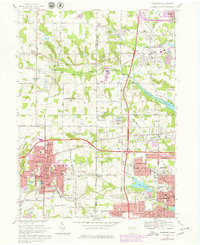
Editions of this 1969 Wadsworth Map
2 editions found
Other maps of this area

1901 · Massillon
USGS Topo · 1:62,500

1901 · Wooster
USGS Topo · 1:62,500

1903 · Massillon
USGS Topo · 1:62,500

1903 · Wooster
USGS Topo · 1:62,500

1903 · Akron
USGS Topo · 1:62,500

1904 · Medina
USGS Topo · 1:62,500

1905 · Akron
USGS Topo · 1:62,500

1906 · Medina
USGS Topo · 1:62,500

1950 · Cleveland
USGS Topo · 1:250,000

1951 · Canton
USGS Topo · 1:250,000