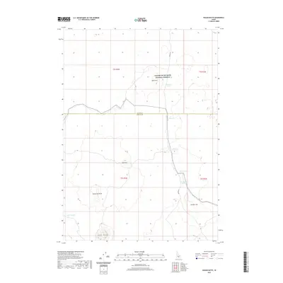
2020 Map of Wagon Butte
USGS Topo · Published 2020About this map
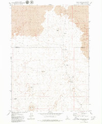
Craters Of The Moon National Preserve encompasses the volcanic landscape of this region, where the high desert terrain is defined by distinct geologic formations. The boundary between Blaine and Lincoln counties cuts across the center of the sheet, dividing a territory marked by numerous volcanic cones including Wagon Butte, Spud Butte, and Broken Top Butte. Water management in this arid environment is evident through several named catchments and intermittent features such as Rattler Reservoir, Cut Off Reservoir, and Dry Rock Lake. A single primary thoroughfare, Kamimah Rd, provides the principal access through the preserve, passing near Wildhorse Lake and navigating the complex topography of The Blow Out. The map reveals a land utilized for both conservation and resource management, with precise township and range divisions like t2s r22e and t3s r23e framing the open rangeland and basalt flows.
Find a feature on this map
18 named features on this map. Tap any name to fly to it.
Don’t see what you’re looking for? This feature index may not catch every label — zoom into the map to look around manually.
Map Details
Editions of this 2020 Wagon Butte Map
This is the sole edition of this map. No revisions or reprints were ever made.
Other maps of this area

1955 · Idaho Falls
USGS Topo · 1:250,000

1958 · Idaho Falls
USGS Topo · 1:250,000

1972 · Little Park
USGS Topo · 1:24,000

1972 · Laidlaw Lake
USGS Topo · 1:24,000

1972 · Laidlaw Butte
USGS Topo · 1:24,000

1978 · Craters Of The Moon
USGS Topo · 1:100,000
1979 · Black Ridge Crater
USGS Topo · 1:24,000
1979 · Paddelford Flat
USGS Topo · 1:24,000
1979 · Pagari Well
USGS Topo · 1:24,000
1979 · Wagon Butte
USGS Topo · 1:24,000