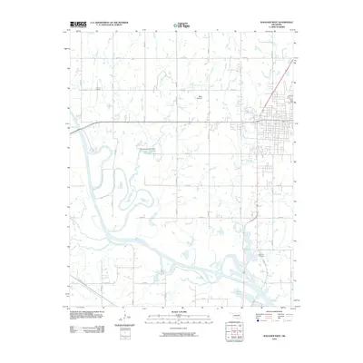
2010 Map of Wagoner West
USGS Topo · Published 2010About this map
The Verdigris River snakes through this landscape west of Wagoner, defining the low-lying geography of the region. Significant water management and transportation infrastructure are visible, including the Port of Dunkin and the Oknoname 037018 Dam which creates the Oknoname 037018 Reservoir. The surrounding terrain is marked by prominent elevations such as Blue Mound, rising above a network of section line roads like Old Town Rd and Cannon Rd.
Find a feature on this map
30 named features on this map. Tap any name to fly to it.
Don’t see what you’re looking for? This feature index may not catch every label — zoom into the map to look around manually.
Map Details
Editions of this 2010 Wagoner West Map
This is the sole edition of this map. No revisions or reprints were ever made.
Other maps of this area

1896 · Okmulgee
USGS Topo · 1:125,000

1896 · Pryor
USGS Topo · 1:125,000

1900 · Okmulgee
USGS Topo · 1:125,000

1901 · Muscogee
USGS Topo · 1:125,000

1901 · Claremore
USGS Topo · 1:125,000

1901 · Pryor
USGS Topo · 1:125,000

1905 · Muscogee
USGS Topo · 1:125,000

1914 · Claremore
USGS Topo · 1:125,000

1916 · Claremore
USGS Topo · 1:125,000

1946 · Fort Smith
USGS Topo · 1:250,000