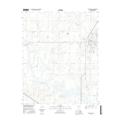
2016 Map of Wagoner West
USGS Topo · Published 2016About this map
The Verdigris River flows through this area of eastern Oklahoma, where the western outskirts of Wagoner meet a landscape of wetlands and winding creeks. Local genealogy is well-supported by the presence of several burial sites, including Sandtown Cem to the northwest, Elmwood Cem near the town center, and Grayson Cem to the south. The terrain is marked by significant water features such as Vans Lake and the 037018 Reservoir, alongside distinctive elevations like Blue Mound. The map captures a detailed grid of rural roads and established city streets, including Martin Luther King Blvd and S Tyler Ave. This 2016 survey illustrates the intersection of urban growth and the river valley's natural drainage system, defined by Billy Creek, Strawberry Creek, and Coal Creek.
Find a feature on this map
88 named features on this map. Tap any name to fly to it.
Don’t see what you’re looking for? This feature index may not catch every label — zoom into the map to look around manually.
Map Details
Editions of this 2016 Wagoner West Map
This is the sole edition of this map. No revisions or reprints were ever made.
Other maps of this area

1896 · Okmulgee
USGS Topo · 1:125,000

1896 · Pryor
USGS Topo · 1:125,000

1900 · Okmulgee
USGS Topo · 1:125,000

1901 · Muscogee
USGS Topo · 1:125,000

1901 · Claremore
USGS Topo · 1:125,000

1901 · Pryor
USGS Topo · 1:125,000

1905 · Muscogee
USGS Topo · 1:125,000

1914 · Claremore
USGS Topo · 1:125,000

1916 · Claremore
USGS Topo · 1:125,000

1946 · Fort Smith
USGS Topo · 1:250,000