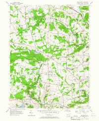
1956 Map of Wagontown
USGS Topo · Published 1966About this map
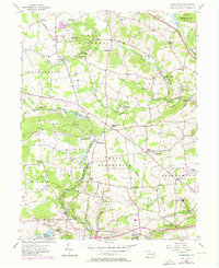
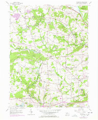
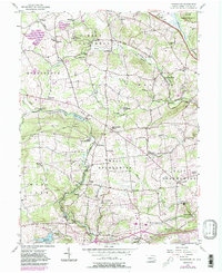
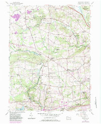
West Nantmeal and West Brandywine townships define this mid-century landscape, characterized by the winding headwaters of the North Branch Brandywine Creek and its many tributaries like Indian Run. The area is a mosaic of small rural settlements including Brandywine Manor and Glenmoore, connected by established routes like the Reading Grade and the Pennsylvania Turnpike.
Find a feature on this map
72 named features on this map. Tap any name to fly to it.
Don’t see what you’re looking for? This feature index may not catch every label — zoom into the map to look around manually.
Map Details
Editions of this 1956 Wagontown Map
8 editions found
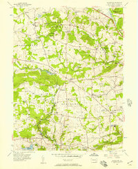
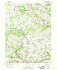
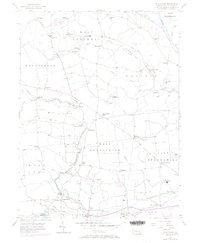
Other maps of this area

1901 · West Chester
USGS Topo · 1:62,500

1904 · West Chester
USGS Topo · 1:62,500

1904 · Coatesville
USGS Topo · 1:62,500

1905 · Honey Brook
USGS Topo · 1:62,500

1906 · Phoenixville
USGS Topo · 1:62,500

1906 · Coatesville
USGS Topo · 1:62,500

1907 · Honeybrook
USGS Topo · 1:62,500

1918 · Coatesville
USGS Topo · 1:62,500

1941 · Honeybrook
USGS Topo · 1:62,500

1943 · Coatesville
USGS Topo · 1:62,500
Featured Places
- Coatesville, PA
- Caln Township, PA
- Wallace Township, PA
- East Nantmeal Township, PA
- Cornog, Wallace Township