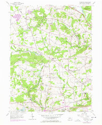
1956 Map of Wagontown
USGS Topo · Published 1977About this map
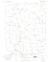
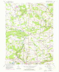
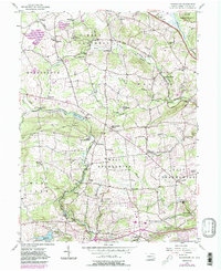
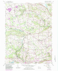
The West Branch Brandywine Creek and its many tributaries, including Indian Run and Culbertson Run, carve through this section of Chester County, shaping a landscape of small villages and institutional landmarks. Major rural centers such as Wagontown, Glenmoore, and Brandamore are connected by the Conrail line, reflecting a community rooted in both industry and faith. The map reveals a high density of local institutions, from the U S Veterans Hospital in the south to the Old Mill Bible Conference and Cain Meeting House. Educational and religious history is well-represented by the Franklin Sch, Lincoln Sch, and St Marks Ch, while the Beth Israel Cem (Polish Cem) and other burial grounds provide valuable data for genealogical research into the families of West Nantmeal and West Brandywine.
Find a feature on this map
62 named features on this map. Tap any name to fly to it.
Don’t see what you’re looking for? This feature index may not catch every label — zoom into the map to look around manually.
Map Details
Editions of this 1956 Wagontown Map
8 editions found
Other maps of this area

1901 · West Chester
USGS Topo · 1:62,500

1904 · West Chester
USGS Topo · 1:62,500

1904 · Coatesville
USGS Topo · 1:62,500

1905 · Honey Brook
USGS Topo · 1:62,500

1906 · Phoenixville
USGS Topo · 1:62,500

1906 · Coatesville
USGS Topo · 1:62,500

1907 · Honeybrook
USGS Topo · 1:62,500

1918 · Coatesville
USGS Topo · 1:62,500

1941 · Honeybrook
USGS Topo · 1:62,500

1943 · Coatesville
USGS Topo · 1:62,500
Featured Places
- Coatesville, PA
- Caln Township, PA
- Wallace Township, PA
- East Nantmeal Township, PA
- Cornog, Wallace Township