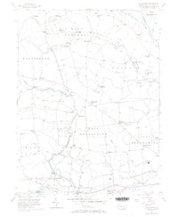
1956 Map of Wagontown
USGS Topo · Published 1970About this map
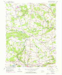
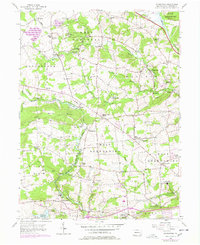
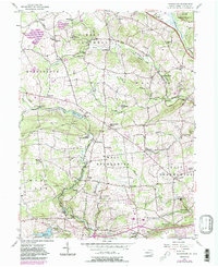
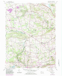
The North Branch Brandywine Creek and its southern counterpart, the West Branch Brandywine Creek, carve through the rolling agricultural landscape of Chester County, shaping the settlement patterns of townships like West Brandywine and Wallace. At the time of this mid-century update, the area maintained a network of small crossroad communities and historic institutional sites. Notable religious and social hubs include the Caln Meeting House and St Marys of Providence, alongside the Old Mill Bible Conference near Icedale.
Find a feature on this map
72 named features on this map. Tap any name to fly to it.
Don’t see what you’re looking for? This feature index may not catch every label — zoom into the map to look around manually.
Map Details
Editions of this 1956 Wagontown Map
8 editions found
Other maps of this area

1901 · West Chester
USGS Topo · 1:62,500

1904 · West Chester
USGS Topo · 1:62,500

1904 · Coatesville
USGS Topo · 1:62,500

1905 · Honey Brook
USGS Topo · 1:62,500

1906 · Phoenixville
USGS Topo · 1:62,500

1906 · Coatesville
USGS Topo · 1:62,500

1907 · Honeybrook
USGS Topo · 1:62,500

1918 · Coatesville
USGS Topo · 1:62,500

1941 · Honeybrook
USGS Topo · 1:62,500

1943 · Coatesville
USGS Topo · 1:62,500
Featured Places
- Coatesville, PA
- Caln Township, PA
- Wallace Township, PA
- East Nantmeal Township, PA
- Cornog, Wallace Township