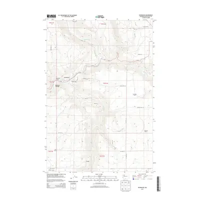
2014 Map of Wahkiacus
USGS Topo · Published 2014About this map
Wahkiacus and its surrounding canyonlands are defined by the convergence of major waterways and winding ridge-top roads in the early twenty-first century. The Klickitat River snakes through the western portion of the map, joined by the drainage of Wahkiacus Canyon and the notable Klickitat Springs. To the east, the landscape transitions into the steep-walled Swale Canyon and the broad reaches of Crofton Prairie.
Find a feature on this map
43 named features on this map. Tap any name to fly to it.
Don’t see what you’re looking for? This feature index may not catch every label — zoom into the map to look around manually.
Map Details
Editions of this 2014 Wahkiacus Map
This is the sole edition of this map. No revisions or reprints were ever made.
Other maps of this area

1934 · The Dalles
USGS Topo · 1:125,000

1953 · The Dalles
USGS Topo · 1:250,000

1956 · The Dalles
USGS Topo · 1:250,000

1957 · The Dalles
USGS Topo · 1:250,000

1957 · Klickitat
USGS Topo · 1:62,500

1957 · Goldendale
USGS Topo · 1:62,500

1957 · The Dalles
USGS Topo · 1:62,500

1957 · Wishram
USGS Topo · 1:62,500

1974 · Stacker Butte
USGS Topo · 1:24,000

1974 · The Dalles North
USGS Topo · 1:24,000