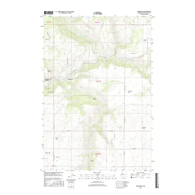
2017 Map of Wahkiacus
USGS Topo · Published 2017About this map
Wahkiacus and the surrounding high country of Klickitat County are defined by the dramatic confluence of the Klickitat River and the Little Klickitat River. This area showcases a landscape of deep canyons and expansive elevated flats, including Crofton Prairie and High Prairie. The terrain is marked by significant geological features like Horseshoe Bend and the steep walls of Wahkiacus Canyon and Swale Canyon.
Find a feature on this map
43 named features on this map. Tap any name to fly to it.
Don’t see what you’re looking for? This feature index may not catch every label — zoom into the map to look around manually.
Map Details
Editions of this 2017 Wahkiacus Map
This is the sole edition of this map. No revisions or reprints were ever made.
Other maps of this area

1934 · The Dalles
USGS Topo · 1:125,000

1953 · The Dalles
USGS Topo · 1:250,000

1956 · The Dalles
USGS Topo · 1:250,000

1957 · The Dalles
USGS Topo · 1:250,000

1957 · Klickitat
USGS Topo · 1:62,500

1957 · Goldendale
USGS Topo · 1:62,500

1957 · The Dalles
USGS Topo · 1:62,500

1957 · Wishram
USGS Topo · 1:62,500

1974 · Stacker Butte
USGS Topo · 1:24,000

1974 · The Dalles North
USGS Topo · 1:24,000