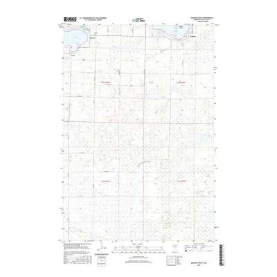
2016 Map of Wahkon South
USGS Topo · Published 2016About this map
Mille Lacs Lake defines the northern edge of this landscape, where the settlements of Wahkon, Bayview, and Cove front the water. The map detail highlights the southern reaches of Cove Bay and Wahkon Bay, including the nearby Mulybys Island. Inland, the terrain is characterized by extensive wetlands and pools, such as Ernst Pool and Korsness Pool, which are fed by meandering drainage systems like Black Brook.
Find a feature on this map
41 named features on this map. Tap any name to fly to it.
Don’t see what you’re looking for? This feature index may not catch every label — zoom into the map to look around manually.
Map Details
Editions of this 2016 Wahkon South Map
This is the sole edition of this map. No revisions or reprints were ever made.
Other maps of this area

1953 · Duluth
USGS Topo · 1:250,000

1953 · Stillwater
USGS Topo · 1:250,000

1955 · Stillwater
USGS Topo · 1:250,000

1958 · Stillwater
USGS Topo · 1:250,000

1958 · Duluth
USGS Topo · 1:250,000

1965 · Stillwater
USGS Topo · 1:250,000

1968 · Onamia NW
USGS Topo · 1:24,000

1968 · Milaca NE
USGS Topo · 1:24,000

1968 · Ann Lake
USGS Topo · 1:24,000

1968 · Onamia
USGS Topo · 1:24,000