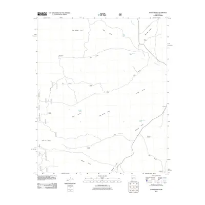
2011 Map of Wahoo Ranch
USGS Topo · Published 2011About this map
Wahoo Ranch and Cox Ranch anchor this high-desert landscape in Socorro County, where life revolves around the management of water and livestock. The 2011 survey reveals a complex network of canyons, including the significant Wahoo Canyon, Duck Canyon, and Knisely Canyon, which dictate the placement of local roads like FR 913.
Find a feature on this map
32 named features on this map. Tap any name to fly to it.
Don’t see what you’re looking for? This feature index may not catch every label — zoom into the map to look around manually.
Map Details
Editions of this 2011 Wahoo Ranch Map
This is the sole edition of this map. No revisions or reprints were ever made.
Other maps of this area

1949 · Lookout Mountain
USGS Topo · 1:62,500

1954 · Tularosa
USGS Topo · 1:250,000

1958 · Tularosa
USGS Topo · 1:250,000

1964 · Welty Hill
USGS Topo · 1:24,000

1964 · Montoya Butte
USGS Topo · 1:24,000

1965 · Iron Mountain
USGS Topo · 1:24,000

1965 · Jaralosa Mountain
USGS Topo · 1:24,000

1965 · Dusty
USGS Topo · 1:24,000

1965 · Wahoo Peak
USGS Topo · 1:24,000

1979 · Truth or Consequences
USGS Topo · 1:100,000