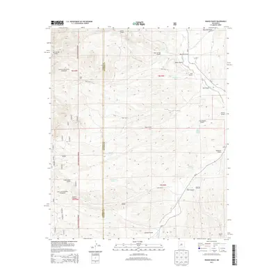
2013 Map of Wahoo Ranch
USGS Topo · Published 2013About this map
Gila National Forest spans the western edge of this territory, where the border between Catron and Socorro counties runs through a landscape of deep canyons and seasonal drainages. The area is defined by its ranching heritage, with Wahoo Ranch and Cox Ranch established near the base of these high-desert ridges. Water management is critical in this environment, evidenced by a network of windmills such as Badger Windmill, Silver Windmill, and Windy Gap Windmill, which support livestock across the drainages of Alamosa Cr and Silver Cr. The presence of the Dusty Cem near West Red Canyon provides a specific point of interest for genealogists tracking early inhabitants of these isolated ranching communities. Narrow tracks like Forest Road 913 and NM-52 serve as the primary conduits through the complex terrain of Havill Canyon and Antelope Canyon.
Find a feature on this map
35 named features on this map. Tap any name to fly to it.
Don’t see what you’re looking for? This feature index may not catch every label — zoom into the map to look around manually.
Map Details
Editions of this 2013 Wahoo Ranch Map
This is the sole edition of this map. No revisions or reprints were ever made.
Other maps of this area

1949 · Lookout Mountain
USGS Topo · 1:62,500

1954 · Tularosa
USGS Topo · 1:250,000

1958 · Tularosa
USGS Topo · 1:250,000

1964 · Welty Hill
USGS Topo · 1:24,000

1964 · Montoya Butte
USGS Topo · 1:24,000

1965 · Iron Mountain
USGS Topo · 1:24,000

1965 · Jaralosa Mountain
USGS Topo · 1:24,000

1965 · Dusty
USGS Topo · 1:24,000

1965 · Wahoo Peak
USGS Topo · 1:24,000

1979 · Truth or Consequences
USGS Topo · 1:100,000