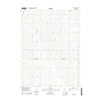
2014 Map of Wahoo SE
USGS Topo · Published 2014About this map
Saunders and Lancaster counties meet along a precise East-West boundary in this rural Nebraska landscape, where the agricultural grid is defined by a dense network of sectional roads. The terrain is carved by the winding paths of N Fork Rock Cr, Mosquito Cr, and Rock Cr, which dictate the placement of small water features like Martin Reservoir. This map is particularly valuable for genealogists, as it documents several distinct burial sites including Zion Cem, New Pleasant Hill Cem, and the nearby Old Pleasant Hill Cem. To the south, the Free Church Cem sits along Agnew Rd, marking a community focal point amidst the rolling drainage basins of Millville Cr. The presence of Old Hwy 77 in the northwest corner highlights the evolution of transit through this prairie region.
Find a feature on this map
35 named features on this map. Tap any name to fly to it.
Don’t see what you’re looking for? This feature index may not catch every label — zoom into the map to look around manually.
Map Details
Editions of this 2014 Wahoo SE Map
This is the sole edition of this map. No revisions or reprints were ever made.
Other maps of this area

1893 · Fremont
USGS Topo · 1:125,000

1896 · Fremont
USGS Topo · 1:125,000

1897 · Lincoln
USGS Topo · 1:125,000

1899 · Wahoo
USGS Topo · 1:125,000

1903 · Weeping Water
USGS Topo · 1:125,000

1929 · Weeping Water
USGS Topo · 1:125,000

1955 · Fremont
USGS Topo · 1:250,000

1955 · Lincoln
USGS Topo · 1:250,000

1957 · Fremont
USGS Topo · 1:250,000

1957 · Lincoln
USGS Topo · 1:250,000