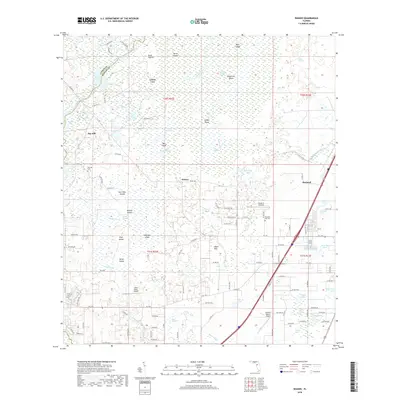
2018 Map of Wahoo
USGS Topo · Published 2018About this map
The Withlacoochee River and its complex network of seasonal wetlands form the backbone of this Sumter County landscape. The settlement patterns are defined by slightly higher ground amidst the Jumper Creek Swamp and numerous island-like features such as Soapstone Island and Gun Tube Islands. The small communities of Wahoo and Bay Hill represent established rural hubs, while the larger town of Bushnell sits along the eastern corridor.
Find a feature on this map
125 named features on this map. Tap any name to fly to it.
Don’t see what you’re looking for? This feature index may not catch every label — zoom into the map to look around manually.
Map Details
Editions of this 2018 Wahoo Map
This is the sole edition of this map. No revisions or reprints were ever made.
Other maps of this area

1893 · Panasoffkee
USGS Topo · 1:62,500

1895 · Tsala Apopka
USGS Topo · 1:62,500

1895 · Panasoffkee
USGS Topo · 1:62,500

1954 · Nobleton
USGS Topo · 1:24,000

1954 · Inverness
USGS Topo · 1:24,000

1954 · Brooksville SE
USGS Topo · 1:24,000

1954 · Inverness
USGS Topo · 1:62,500

1955 · Plant City
USGS Topo · 1:250,000

1958 · Plant City
USGS Topo · 1:250,000

1958 · Webster
USGS Topo · 1:24,000