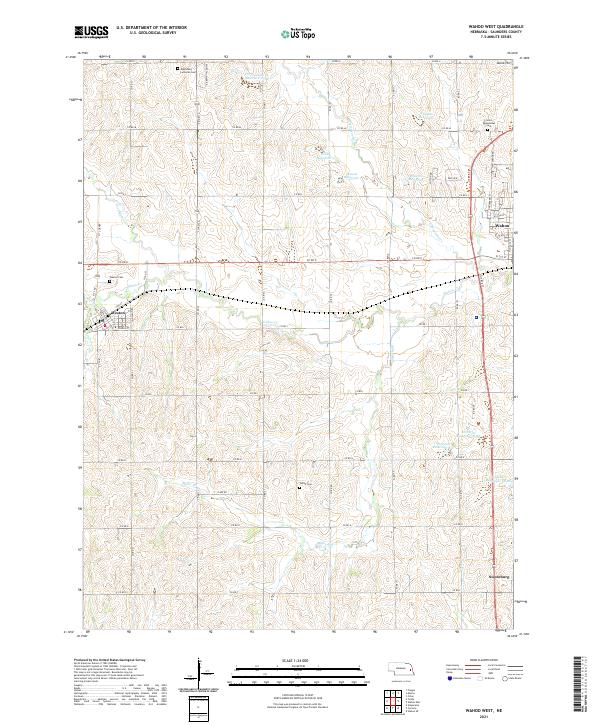
2021 Map of Wahoo West
USGS Topo · Published 2021About this map
Weston and Swedeburg anchor this Saunders County landscape, illustrating a classic rural Nebraska settlement pattern defined by section lines and small agricultural hubs. The terrain is notably marked by the headwaters and tributaries of Wahoo Cr, with several family-named impoundments like Kavan Reservoir 1 and Chapek Reservoir showing how local water management shaped the prairie. Genealogy interest is concentrated in several distinct burial grounds, including the Czech Cem and Edensburg Lutheran Cem, which reflect the European heritage of the settlers who established these communities.
Find a feature on this map
57 named features on this map. Tap any name to fly to it.
Don’t see what you’re looking for? This feature index may not catch every label — zoom into the map to look around manually.
Map Details
Editions of this 2021 Wahoo West Map
This is the sole edition of this map. No revisions or reprints were ever made.
Other maps of this area

1899 · Wahoo
USGS Topo · 1:125,000

1955 · Fremont
USGS Topo · 1:250,000

1957 · Fremont
USGS Topo · 1:250,000

1958 · Fremont
USGS Topo · 1:250,000
1969 · Malmo
USGS Topo · 1:24,000
1969 · Touhy
USGS Topo · 1:24,000
1969 · Valparaiso
USGS Topo · 1:24,000
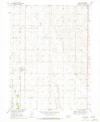
1969 · Colon
USGS Topo · 1:24,000
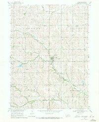
1969 · Prague
USGS Topo · 1:24,000
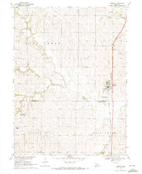
1969 · Ceresco
USGS Topo · 1:24,000