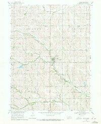
1969 Map of Prague
USGS Topo · Published 1971About this map
The village of Prague serves as the hub of this rural Nebraska landscape, situated near the intersection of Chester, Douglas, Elk, and Mariposa townships. The local economy and social life of the late 1960s are evidenced by the dense concentration of community landmarks, including the St John Cem and the National Cem on the town's perimeter. Further west, the small settlement of Rescue anchors a territory defined by rolling drainages like Cottonwood Creek and Willow Creek Cem.
Find a feature on this map
21 named features on this map. Tap any name to fly to it.
Don’t see what you’re looking for? This feature index may not catch every label — zoom into the map to look around manually.
Map Details
Editions of this 1969 Prague Map
This is the sole edition of this map. No revisions or reprints were ever made.
Other maps of this area

1899 · Wahoo
USGS Topo · 1:125,000

1955 · Fremont
USGS Topo · 1:250,000

1957 · Fremont
USGS Topo · 1:250,000

1958 · Fremont
USGS Topo · 1:250,000

1968 · Bruno
USGS Topo · 1:24,000
1968 · Malmo NW
USGS Topo · 1:24,000
1968 · North Bend
USGS Topo · 1:24,000
1968 · Rogers
USGS Topo · 1:24,000
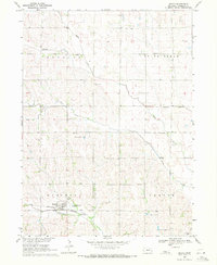
1969 · Malmo
USGS Topo · 1:24,000
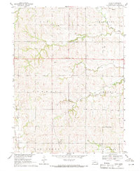
1969 · Touhy
USGS Topo · 1:24,000