
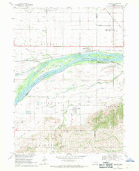
1968 Map of Bruno
USGS Topo · Published 1971About this map
Bruno and Abie anchor this rural landscape in Butler County during the late 1960s, a region defined by its Czech heritage and agricultural roots. The map reveals a high density of rural cemeteries, including St Anthony Cem and the Bohemian Cem, which serve as vital markers for genealogical research in this part of Nebraska. The meandering course of Skull Creek cuts through the terrain, while the presence of an Old Railroad Grade running northwest through the settlements indicates the changing transportation infrastructure of the era. Smaller rural institutions like School No 80 and Elmwood Sch are still noted, reflecting the dispersed nature of the community before the further consolidation of rural districts. To the north, the small cluster of Nimburg and its associated Nimburg Cem highlight the persistence of small hamlet-style settlements across the prairie.
Find a feature on this map
21 named features on this map. Tap any name to fly to it.
Don’t see what you’re looking for? This feature index may not catch every label — zoom into the map to look around manually.
Map Details
Editions of this 1968 Bruno Map
This is the sole edition of this map. No revisions or reprints were ever made.
Other maps of this area

1899 · Wahoo
USGS Topo · 1:125,000

1899 · David City
USGS Topo · 1:125,000

1955 · Fremont
USGS Topo · 1:250,000

1957 · Fremont
USGS Topo · 1:250,000

1958 · Fremont
USGS Topo · 1:250,000
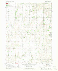
1965 · Brainard
USGS Topo · 1:24,000
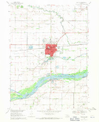
1968 · Schuyler
USGS Topo · 1:24,000
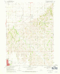
1968 · David City East
USGS Topo · 1:24,000
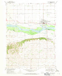
1968 · North Bend
USGS Topo · 1:24,000
1968 · Rogers
USGS Topo · 1:24,000