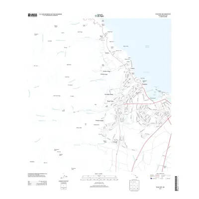
2013 Map of Wailuku
USGS Topo · Published 2013About this map
Iao Stream descends from the interior ridges of Maui, carving through the iconic 'Iao Valley toward the coast. This 2013 survey illustrates the dense residential development of the central valley, where neighborhoods like Pu'uohala Village, Happy Valley, and Wailuku Heights sit atop the alluvial fans and volcanic foothills. The presence of ancient cultural landmarks such as Haleikii Helau and Pihana Helau near Waiehu indicates the deep historical significance of this corridor, even as modern infrastructure like the Waihehu Golf Course and Maui Zoological and Botanical Gardens has shaped the current landscape.
Find a feature on this map
179 named features on this map. Tap any name to fly to it.
Don’t see what you’re looking for? This feature index may not catch every label — zoom into the map to look around manually.
Map Details
Editions of this 2013 Wailuku Map
This is the sole edition of this map. No revisions or reprints were ever made.
Other maps of this area

1954 · Maui
USGS Topo · 1:250,000

1954 · Maalaea
USGS Topo · 1:24,000

1954 · Paia
USGS Topo · 1:24,000

1954 · Puu O Kali
USGS Topo · 1:24,000

1955 · Olowalu
USGS Topo · 1:24,000

1955 · Wailuku
USGS Topo · 1:24,000

1955 · Kahakuloa
USGS Topo · 1:24,000

1956 · Lahaina
USGS Topo · 1:24,000

1956 · Honolua
USGS Topo · 1:24,000

1966 · Maui
USGS Topo · 1:250,000