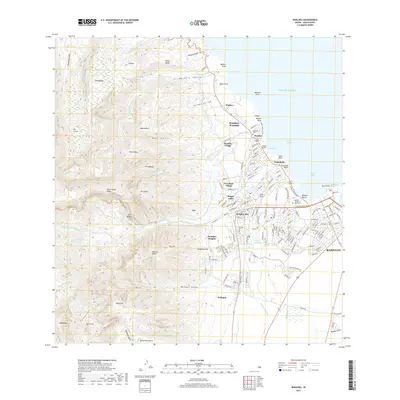
2017 Map of Wailuku
USGS Topo · Published 2017About this map
Wailuku and Kahului anchor this coastal landscape, showing the transition from the bustling urban corridors of Central Maui to the steep, carved ridges of the West Maui Mountains. The intricate network of irrigation, including the Spreckels Ditch, Waihee Canal, and Palolo Ditch, illustrates the historical water management systems essential to the region's agricultural past. Higher elevations are marked by iconic landmarks such as The Needle in Iao Valley, while the coastline features the protective Waihe‘e Reef.
Find a feature on this map
171 named features on this map. Tap any name to fly to it.
Don’t see what you’re looking for? This feature index may not catch every label — zoom into the map to look around manually.
Map Details
Editions of this 2017 Wailuku Map
This is the sole edition of this map. No revisions or reprints were ever made.
Other maps of this area

1954 · Maui
USGS Topo · 1:250,000

1954 · Maalaea
USGS Topo · 1:24,000

1954 · Paia
USGS Topo · 1:24,000

1954 · Puu O Kali
USGS Topo · 1:24,000

1955 · Olowalu
USGS Topo · 1:24,000

1955 · Wailuku
USGS Topo · 1:24,000

1955 · Kahakuloa
USGS Topo · 1:24,000

1956 · Lahaina
USGS Topo · 1:24,000

1956 · Honolua
USGS Topo · 1:24,000

1966 · Maui
USGS Topo · 1:250,000