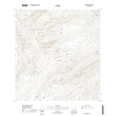
2017 Map of Waimea Canyon
USGS Topo · Published 2017About this map
Waimea Canyon dominates the western half of this Kauai landscape, where high ridges like Kumuwela Ridge drop sharply into deep interior valleys. The terrain is defined by a dense network of high-altitude waterways, including Mohihi Stream and Waiahulu Stream, which feed the major river systems. Numerous waterfalls, such as Waianuenue Falls and Waipo'o Falls, are noted along these steep drainage points.
Find a feature on this map
87 named features on this map. Tap any name to fly to it.
Don’t see what you’re looking for? This feature index may not catch every label — zoom into the map to look around manually.
Map Details
Editions of this 2017 Waimea Canyon Map
This is the sole edition of this map. No revisions or reprints were ever made.
Other maps of this area

1954 · Kauai
USGS Topo · 1:250,000

1963 · Kekaha
USGS Topo · 1:24,000

1963 · Hanapepe
USGS Topo · 1:24,000

1963 · Koloa
USGS Topo · 1:24,000

1963 · Hanalei
USGS Topo · 1:24,000

1965 · Waimea Canyon
USGS Topo · 1:24,000

1965 · Haena
USGS Topo · 1:24,000

1965 · Makaha Point
USGS Topo · 1:24,000

1965 · Waialeale
USGS Topo · 1:24,000

1967 · Kauai
USGS Topo · 1:250,000