
1952 Map of Waimea
USGS Topo · Published 1954About this map
The North Shore of Oahu is documented here in the early 1950s, showing the early infrastructure of Sunset Beach and the historic Waimea area. The Kamehameha Highway serves as the primary coastal artery, hugging the shoreline near Kawailoa Beach and crossing the Waimea River. In the uplands, the Pupukea Paumalu Forest Reserve covers the heights, where the terrain is deeply incised by various gulches such as Kaunala Gulch and Aimuu Gulch.
Find a feature on this map
33 named features on this map. Tap any name to fly to it.
Don’t see what you’re looking for? This feature index may not catch every label — zoom into the map to look around manually.
Map Details
Editions of this 1952 Waimea Map
2 editions found
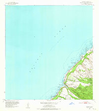
Other maps of this area

1953 · Haleiwa
USGS Topo · 1:24,000

1953 · Hauula
USGS Topo · 1:24,000

1954 · Oahu
USGS Topo · 1:250,000

1954 · Kahuku
USGS Topo · 1:24,000

1954 · Kaena
USGS Topo · 1:24,000

1960 · Haleiwa
USGS Topo · 1:24,000

1961 · Oahu
USGS Topo · 1:250,000
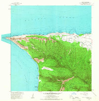
1964 · Kaena
USGS Topo · 1:24,000

1965 · Oahu
USGS Topo · 1:250,000
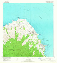
1965 · Kahuku
USGS Topo · 1:24,000