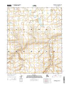
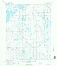
2014 Map of Wainwright A-3 SW
USGS Topo · Published 2014About this map
The Ivisaruk River winds through this expanse of the North Slope, dominating the eastern and southern portions of the landscape. To the northwest, the Nokotlek River enters the frame, marking a terrain defined by subtle elevation changes and the intricate drainage patterns of the Arctic coastal plain. This 2014 survey focuses on the Public Land Survey System divisions within t8n r35w, t8n r36w, and neighboring townships, illustrating the systematic grid of the American West as applied to the far northern reaches of Alaska. The topographic contours reveal the delicate rise and fall of the tundra between these watercourses, offering a clear view of the hydrological network that shapes this remote borough before it meets the sea.
Find a feature on this map
6 named features on this map. Tap any name to fly to it.
Don’t see what you’re looking for? This feature index may not catch every label — zoom into the map to look around manually.
Map Details
Editions of this 2014 Wainwright A-3 SW Map
This is the sole edition of this map. No revisions or reprints were ever made.
Other maps of this area

1951 · Utukok River
USGS Topo · 1:250,000

1951 · Wainwright
USGS Topo · 1:250,000

1955 · Wainwright
USGS Topo · 1:250,000
1955 · Utukok River D-4
USGS Topo · 1:63,360
1955 · Utukok River D-3
USGS Topo · 1:63,360
1955 · Wainwright A-3
USGS Topo · 1:63,360
1955 · Wainwright A-4
USGS Topo · 1:63,360

1956 · Utukok River
USGS Topo · 1:250,000

1964 · Wainwright
USGS Topo · 1:250,000

1965 · Utukok River
USGS Topo · 1:250,000