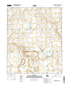
2014 Map of Wainwright A-4 SW
USGS Topo · Published 2014About this map
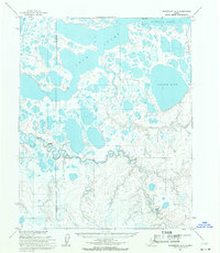
Tunalik River winds through the tundra of the North Slope, defining the primary drainage for this remote arctic landscape. In this 2014 survey, the river is captured in its meandering course, surrounded by a complex network of seasonal lakes and wetlands characteristic of the permafrost terrain. The map's detail highlights the vast hydrological system of the region, where numerous unnamed water bodies feed into the main river channel. The absence of roads or established settlements on this sheet reflects the untouched character of the North Slope Borough, where the natural topography remains the dominant feature of the land. It provides a technical view of the Tunalik River basin as it appeared in the early 21st century, documented by the U.S. Geological Survey through modern satellite imagery and national hydrography data.
Find a feature on this map
5 named features on this map. Tap any name to fly to it.
Don’t see what you’re looking for? This feature index may not catch every label — zoom into the map to look around manually.
Map Details
Editions of this 2014 Wainwright A-4 SW Map
This is the sole edition of this map. No revisions or reprints were ever made.
Other maps of this area

1951 · Utukok River
USGS Topo · 1:250,000

1951 · Wainwright
USGS Topo · 1:250,000

1955 · Wainwright
USGS Topo · 1:250,000
1955 · Utukok River D-4
USGS Topo · 1:63,360
1955 · Utukok River D-5
USGS Topo · 1:63,360
1955 · Wainwright A-4
USGS Topo · 1:63,360
1955 · Wainwright A-5
USGS Topo · 1:63,360

1956 · Utukok River
USGS Topo · 1:250,000

1964 · Wainwright
USGS Topo · 1:250,000

1965 · Utukok River
USGS Topo · 1:250,000