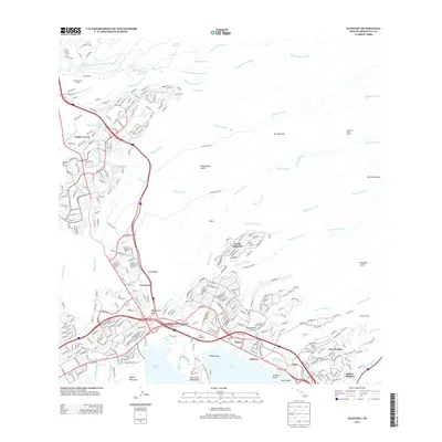
2013 Map of Waipahu
USGS Topo · Published 2013About this map
The waters of Middle Loch and East Loch define the southern edge of this landscape, where the residential developments of Kalauao and 'Aiea meet the shoreline of Pearl Harbor. This 2013 survey illustrates the complex water management system of central O'ahu, showing the Waiāhole Ditch and Old Ahern Ditch cutting across the terrain to redirect flow from the Ko'olau Range streams.
Find a feature on this map
58 named features on this map. Tap any name to fly to it.
Don’t see what you’re looking for? This feature index may not catch every label — zoom into the map to look around manually.
Map Details
Editions of this 2013 Waipahu Map
This is the sole edition of this map. No revisions or reprints were ever made.
Other maps of this area

1953 · Haleiwa
USGS Topo · 1:24,000

1953 · Schofield Barracks
USGS Topo · 1:24,000

1953 · Honolulu
USGS Topo · 1:24,000

1953 · Ewa
USGS Topo · 1:24,000

1953 · Puuloa
USGS Topo · 1:24,000

1953 · Hauula
USGS Topo · 1:24,000

1954 · Oahu
USGS Topo · 1:250,000

1954 · Kahana
USGS Topo · 1:24,000

1954 · Kaneohe
USGS Topo · 1:24,000

1954 · Waipahu
USGS Topo · 1:24,000