Loading...
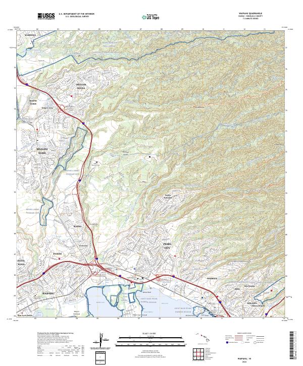
Loading map...2024 Map of Waipahu
USGS Topo · Published 2024About this map
Pearl Harbor and its northern lochs anchor this geographic study of O'ahu's southern coast, showing the dense suburban corridor from Waipahu to Aiea. The landscape is a complex mix of military installations and modern residential development, where Wheeler Army Airfield and the Kipapa Ammo Storage Site sit alongside established communities like Mililani Town and Pearl City.
Find a feature on this map
71 named features on this map. Tap any name to fly to it.
Don’t see what you’re looking for? This feature index may not catch every label — zoom into the map to look around manually.
Map Details
Date Portrayed2024
Date Published2024
PublisherU.S. Geological Survey
Map TypeTopographic
Scale1:24000
Physical Dimensions24 x 29 inches
Editions of this 2024 Waipahu Map
This is the sole edition of this map. No revisions or reprints were ever made.
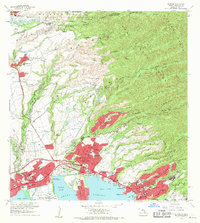
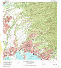
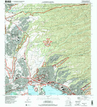
Historical Maps of Waiau Through Time
6 maps found


Featured Locations
Source Details
SourceU.S. Geological Survey
CopyrightPublic Domain