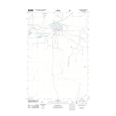
2011 Map of Wakefield
USGS Topo · Published 2011About this map
Sunday Lake serves as the central focal point for this section of Gogebic County, with the city of Wakefield established along its southern and eastern shores. This 2011 survey documents a landscape defined by the drainage patterns of the Little Black River and the Black River, which flows past Neepikon Falls in the northwest. The settlement patterns reflect the region's industrial and recreational legacy, from the residential clusters at Ramsay and Verona to the Indianhead Mountain Ski Area.
Find a feature on this map
66 named features on this map. Tap any name to fly to it.
Don’t see what you’re looking for? This feature index may not catch every label — zoom into the map to look around manually.
Map Details
Editions of this 2011 Wakefield Map
This is the sole edition of this map. No revisions or reprints were ever made.
Other maps of this area

1943 · Ironwood
USGS Topo · 1:48,000

1953 · Ashland
USGS Topo · 1:250,000

1955 · Bessemer
USGS Topo · 1:24,000

1955 · Wakefield
USGS Topo · 1:24,000

1955 · Wakefield
USGS Topo · 1:62,500

1955 · Wakefield NE
USGS Topo · 1:24,000

1955 · Ironwood
USGS Topo · 1:62,500

1956 · North Ironwood
USGS Topo · 1:62,500

1956 · Thomaston
USGS Topo · 1:62,500

1958 · Ashland
USGS Topo · 1:250,000