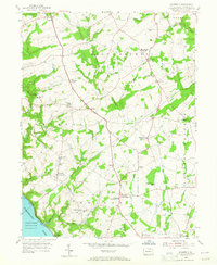
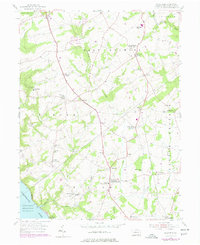
1955 Map of Wakefield
USGS Topo · Published 1965About this map
The Fulton House (Birthplace of Robert Fulton) stands as a landmark in this rural Lancaster County landscape, marking the historic home of the steamboat pioneer. The terrain is defined by the winding course of Conowingo Creek and the broad reach of the Susquehanna River, where the southern edge of the map meets the Conowingo Reservoir near the settlement of Peach Bottom.
Find a feature on this map
51 named features on this map. Tap any name to fly to it.
Don’t see what you’re looking for? This feature index may not catch every label — zoom into the map to look around manually.
Map Details
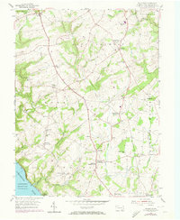
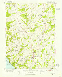
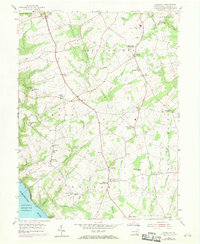
Editions of this 1955 Wakefield Map
5 editions found
Other maps of this area

1900 · Havre De Grace
USGS Topo · 1:62,500

1901 · Belair
USGS Topo · 1:62,500

1912 · Quarryville
USGS Topo · 1:62,500

1912 · Mc Calls Ferry
USGS Topo · 1:62,500

1942 · Havre De Grace
USGS Topo · 1:62,500

1942 · Bel Air
USGS Topo · 1:62,500

1943 · Quarryville
USGS Topo · 1:62,500

1943 · Mc Calls Ferry
USGS Topo · 1:62,500

1945 · Bel Air
USGS Topo · 1:62,500

1948 · Baltimore
USGS Topo · 1:250,000
Featured Places
- Little Britain Township, PA
- Drumore Township, PA
- Colerain Township, PA
- East Drumore Township, PA
- Penn Hill, Fulton Township