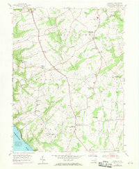
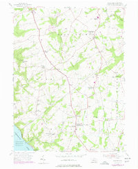
1955 Map of Wakefield
USGS Topo · Published 1971About this map
Fulton House, the birthplace of Robert Fulton, stands as a central historical landmark in this mid-century survey of southern Lancaster County. The landscape is defined by the transition from upland agricultural plateaus to the steep slopes of the Susquehanna River corridor at the Conowingo Reservoir. Settlement patterns are distinctly concentrated around rural crossroads and post offices, such as Wakefield and Fairfield, which served the farming communities of Drumore and Little Britain townships. The local infrastructure of the era is remarkably intact, showing numerous country schools like Brick Hill Sch and Osceola Sch, alongside several community churches including Mechanic Grove Ch and Little Britain Ch. The Penn Central line follows the river's edge, highlighting the historical importance of the river corridor for transportation and power, while the interior is crisscrossed by drainage systems like Conowingo Creek and Fishing Creek.
Find a feature on this map
47 named features on this map. Tap any name to fly to it.
Don’t see what you’re looking for? This feature index may not catch every label — zoom into the map to look around manually.
Map Details
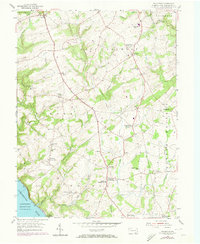
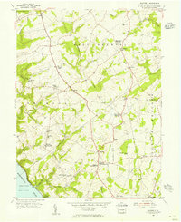
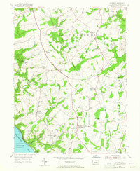
Editions of this 1955 Wakefield Map
5 editions found
Other maps of this area

1900 · Havre De Grace
USGS Topo · 1:62,500

1901 · Belair
USGS Topo · 1:62,500

1912 · Quarryville
USGS Topo · 1:62,500

1912 · Mc Calls Ferry
USGS Topo · 1:62,500

1942 · Havre De Grace
USGS Topo · 1:62,500

1942 · Bel Air
USGS Topo · 1:62,500

1943 · Quarryville
USGS Topo · 1:62,500

1943 · Mc Calls Ferry
USGS Topo · 1:62,500

1945 · Bel Air
USGS Topo · 1:62,500

1948 · Baltimore
USGS Topo · 1:250,000
Featured Places
- Little Britain Township, PA
- Drumore Township, PA
- Colerain Township, PA
- East Drumore Township, PA
- Penn Hill, Fulton Township