Loading...
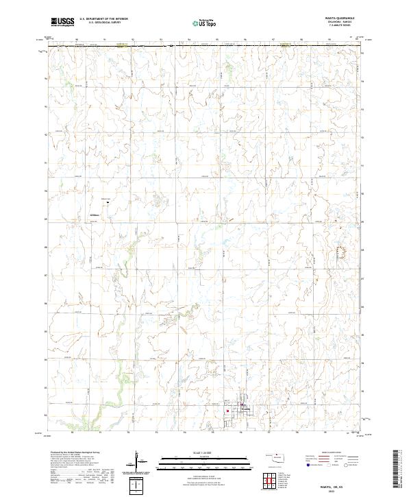
Loading map...2022 Map of Wakita
USGS Topo · Published 2022About this map
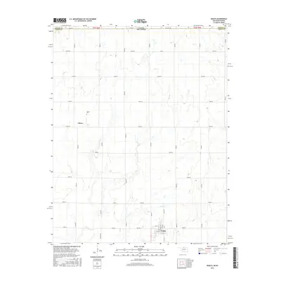
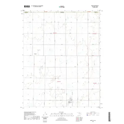
Wakita serves as the primary center of this North Central Oklahoma landscape, where the town grid is clearly defined by streets such as Elm St, Maple St, and E Sioux. To the north, the settlement of Gibbon sits near the Gibbon Cem, anchoring a rural township structure defined by the Public Land Survey System. The terrain is subtly etched by Duel Cr, which meanders through the southern sections toward the town site.
Find a feature on this map
42 named features on this map. Tap any name to fly to it.
Don’t see what you’re looking for? This feature index may not catch every label — zoom into the map to look around manually.
Map Details
Date Portrayed2022
Date Published2022
PublisherU.S. Geological Survey
Map TypeTopographic
Scale1:24,000
Physical Dimensions24 x 29 inches
Editions of this 2022 Wakita Map
This is the sole edition of this map. No revisions or reprints were ever made.
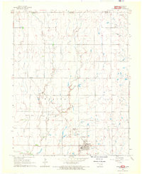
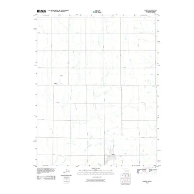
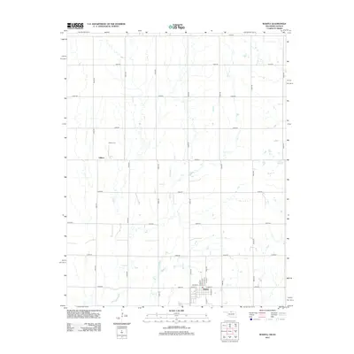
Historical Maps of Wakita Through Time
6 maps found
Featured Locations
Source Details
SourceU.S. Geological Survey
CopyrightPublic Domain