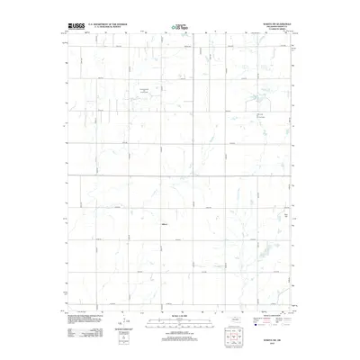
2012 Map of Wakita SW
USGS Topo · Published 2012About this map
Gilbert sits at the heart of this North Central Oklahoma landscape, where the grid of county roads meets the natural drainage of Lynch Cr and Spring Cr. The area reflects a balance between traditional agricultural land use and energy extraction, most notably within the expansive Cherokita Trend Oil and Gas Field and the Cherry Vale Oil and Gas Field. These industrial footprints are overlaid across a terrain defined by subtle elevation changes, including the local landmark of Red Hill.
Find a feature on this map
27 named features on this map. Tap any name to fly to it.
Don’t see what you’re looking for? This feature index may not catch every label — zoom into the map to look around manually.
Map Details
Editions of this 2012 Wakita SW Map
This is the sole edition of this map. No revisions or reprints were ever made.
Other maps of this area

1955 · Enid
USGS Topo · 1:250,000

1955 · Woodward
USGS Topo · 1:250,000

1958 · Enid
USGS Topo · 1:250,000

1958 · Woodward
USGS Topo · 1:250,000

1968 · Wakita
USGS Topo · 1:24,000

1968 · Wakita SE
USGS Topo · 1:24,000

1968 · Pond Creek
USGS Topo · 1:24,000

1968 · Pond Creek NW
USGS Topo · 1:24,000
1968 · Wakita NE
USGS Topo · 1:24,000

1968 · Wakita SW
USGS Topo · 1:24,000