Loading...
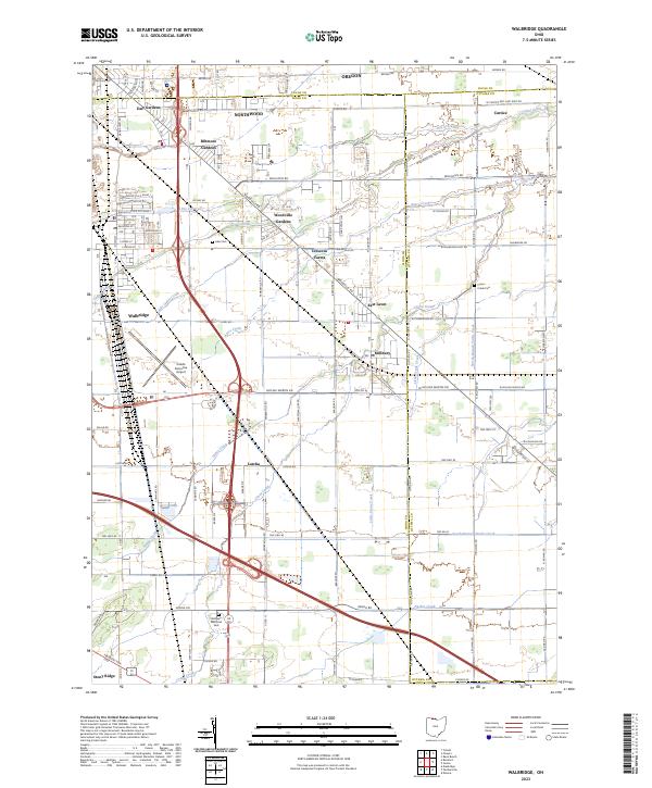
Loading map...2023 Map of Walbridge
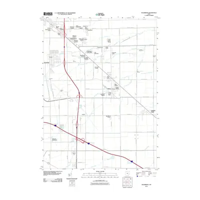
USGS Topo · Published 2023About this map
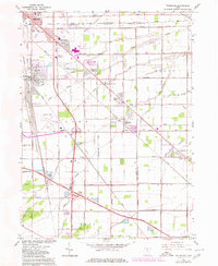
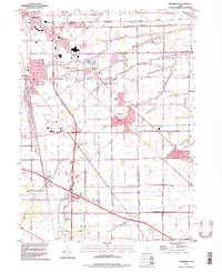
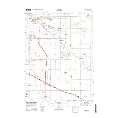
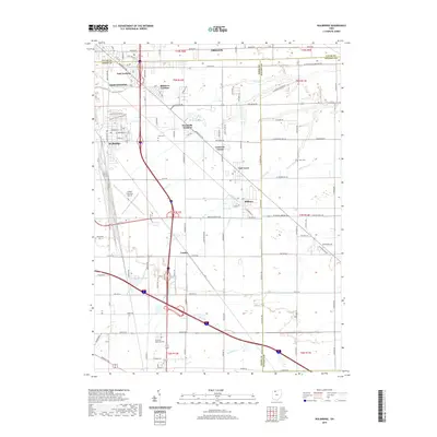
Northwood and the aviation grounds of Toledo Executive Airport anchor this 2023 landscape in Wood County, Ohio. The terrain is defined by a dense network of suburban developments like Biltmore Gardens and East Gardens that contrast with the more traditional rural layouts near Millbury and Latcha. This area shows the continued evolution of residential corridors along Woodville Rd and Walbridge Rd, where agricultural parcels meet expanding township infrastructure.
Find a feature on this map
89 named features on this map. Tap any name to fly to it.
Don’t see what you’re looking for? This feature index may not catch every label — zoom into the map to look around manually.
Map Details
Date Portrayed2023
Date Published2023
PublisherU.S. Geological Survey
Map TypeTopographic
Scale1:24,000
Physical Dimensions24 x 29 inches
Editions of this 2023 Walbridge Map
This is the sole edition of this map. No revisions or reprints were ever made.
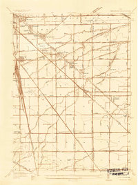
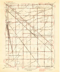
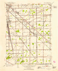
Historical Maps of Oregon Through Time
10 maps found
Featured Locations
Source Details
SourceU.S. Geological Survey
CopyrightPublic Domain