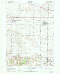
1953 Map of Walcott
USGS Topo · Published 1971About this map
The rural landscape of Scott and Muscatine counties is defined here by a dense network of district schools and the operations of the Chicago Rock Island And Pacific railroad. Local education is anchored by numerous named schoolhouses, including the Stockton Consolidated School, Prairie Grove School, and Nolo School, which served the farming townships of Fulton and Cleona. The 1970 photorevisions, marked in purple, highlight the growth of Walcott and Blue Grass as they expanded along their respective transportation corridors.
Find a feature on this map
25 named features on this map. Tap any name to fly to it.
Don’t see what you’re looking for? This feature index may not catch every label — zoom into the map to look around manually.
Map Details
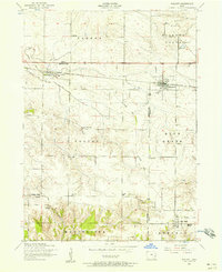
Editions of this 1953 Walcott Map
2 editions found
Other maps of this area

1890 · Durant
USGS Topo · 1:62,500

1891 · Davenport
USGS Topo · 1:62,500

1894 · Durant
USGS Topo · 1:62,500

1894 · Davenport
USGS Topo · 1:62,500

1901 · Rock Island
USGS Topo · 1:125,000

1910 · Rock Island
USGS Topo · 1:125,000

1912 · Milan
USGS Topo · 1:62,500

1916 · Edgington
USGS Topo · 1:62,500

1938 · Edgington
USGS Topo · 1:62,500

1944 · Milan
USGS Topo · 1:62,500