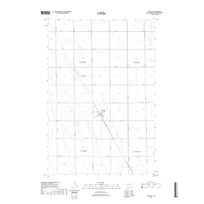
2017 Map of Walcott
USGS Topo · Published 2017About this map
Walcott stands as the central settlement in this portion of Richland County, characterized by a traditional grid of streets including Main Ave, 1st Ave, and 5th St. The surrounding landscape is defined by the expansive agricultural section lines typical of the Red River Valley, with named routes like Co Rd 2 and Anderson Dr connecting disparate farmsteads. A significant modern recreational feature, the North Country National Scenic Trail, cuts diagonally across the township, following a northwest-to-southeast trajectory that deviates from the rigid cardinal orientation of the local road network. This juxtaposition highlights the intersection of historic land division and contemporary preservation efforts in North Dakota’s prairie country.
Find a feature on this map
27 named features on this map. Tap any name to fly to it.
Don’t see what you’re looking for? This feature index may not catch every label — zoom into the map to look around manually.
Map Details
Editions of this 2017 Walcott Map
This is the sole edition of this map. No revisions or reprints were ever made.
Other maps of this area

1895 · Fargo
USGS Topo · 1:125,000

1895 · Casselton
USGS Topo · 1:125,000

1897 · Fargo
USGS Topo · 1:125,000

1897 · Casselton
USGS Topo · 1:125,000

1904 · Wahpeton
USGS Topo · 1:125,000

1907 · Wyndmere
USGS Topo · 1:125,000

1953 · Fargo
USGS Topo · 1:250,000

1956 · Fargo
USGS Topo · 1:250,000

1959 · Kindred
USGS Topo · 1:24,000

1959 · Wyndmere NE
USGS Topo · 1:24,000