2024 Map of Walcott
USGS Topo · Published 2024About this map
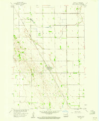
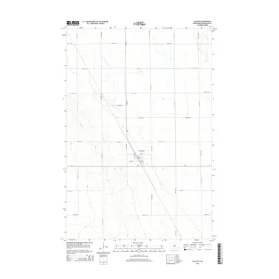
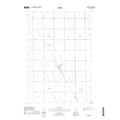
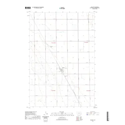
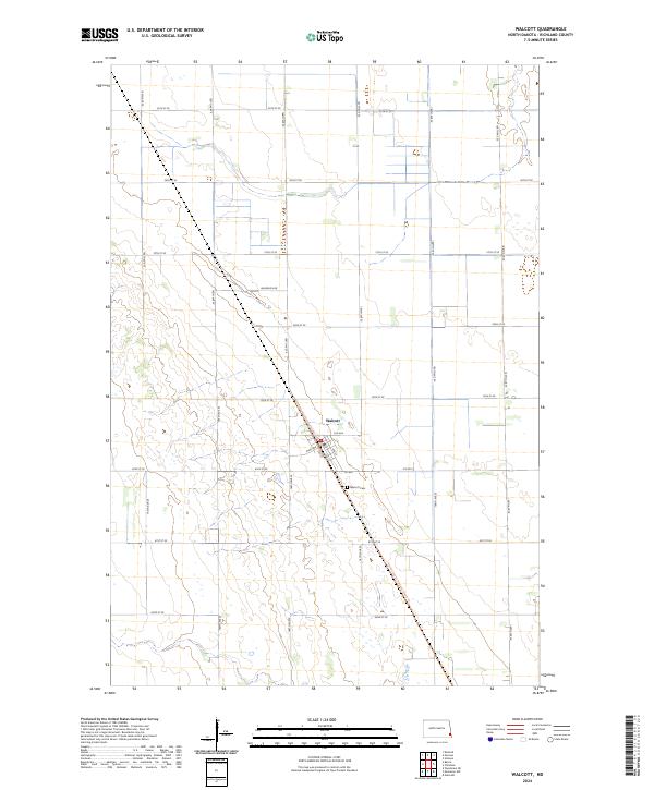
The settlement of Walcott sits at the heart of this Richland County landscape, organized by a precise grid of sectional roads and township boundaries including t136n r50w and t135n r50w. The village is centered on Main Ave and 1st Ave, providing a clear view of the town's compact residential and commercial layout. Outside the village limits, the land is dominated by agricultural parcels bisected by the diagonal route of the North Country National Scenic Trl, which cuts across the prairie from the northwest to the southeast. Genealogists will find the Walcott Cem located just south of the main township, a key landmark for local family history. The surrounding terrain is marked by subtle drainage patterns and wetlands, typical of the Red River Valley region, with local access provided by routes like Co Rd 2 and Anderson Dr.
Find a feature on this map
26 named features on this map. Tap any name to fly to it.
Don’t see what you’re looking for? This feature index may not catch every label — zoom into the map to look around manually.
Map Details
Editions of this 2024 Walcott Map
This is the sole edition of this map. No revisions or reprints were ever made.
Historical Maps of Walcott Through Time
6 maps found