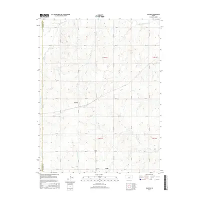
2015 Map of Waldeck
USGS Topo · Published 2015About this map
The agricultural plains of Marion County are defined here by the headwaters of the Cottonwood River system, where the N Cottonwood River, W Cottonwood River, and S Cottonwood River converge. This survey shows the town of Lehigh at the southern edge, a community historically tied to the region’s Mennonite heritage, evidenced by the nearby Lehigh Mennonite Cem and a second Mennonite Cem further south.
Find a feature on this map
34 named features on this map. Tap any name to fly to it.
Don’t see what you’re looking for? This feature index may not catch every label — zoom into the map to look around manually.
Map Details
Editions of this 2015 Waldeck Map
This is the sole edition of this map. No revisions or reprints were ever made.
Other maps of this area

1889 · Newton
USGS Topo · 1:125,000

1889 · Abilene
USGS Topo · 1:125,000

1894 · Newton
USGS Topo · 1:125,000

1894 · Abilene
USGS Topo · 1:125,000

1955 · Hutchinson
USGS Topo · 1:250,000

1959 · Hutchinson
USGS Topo · 1:250,000
1964 · Gypsum SE
USGS Topo · 1:24,000
1964 · Tampa
USGS Topo · 1:24,000
1964 · Roxbury
USGS Topo · 1:24,000

1971 · Durham
USGS Topo · 1:24,000