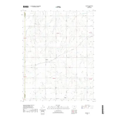
2018 Map of Waldeck
USGS Topo · Published 2018About this map
Lehigh and the nearby settlement of Waldeck anchor this western Marion County landscape, situated where the central Kansas plains are etched by the upper reaches of the Cottonwood River system. The map documents a significant intersection of cultural and natural history, specifically noting the Lehigh Mennonite Cem and a second Mennonite Cem, reflecting the area's deep roots in Anabaptist settlement. The terrain is defined by the convergence of the North Cottonwood River and South Cottonwood River, alongside several smaller tributaries including French Cr, Silver Cr, and Perry Cr. Of particular interest to historical researchers is the alignment of North Chisholm Trail, a corridor that follows the section lines between Diamond Rd and Bison Rd, tracing a modern echo of the vital nineteenth-century cattle route through the heart of the Great Plains.
Find a feature on this map
33 named features on this map. Tap any name to fly to it.
Don’t see what you’re looking for? This feature index may not catch every label — zoom into the map to look around manually.
Map Details
Editions of this 2018 Waldeck Map
This is the sole edition of this map. No revisions or reprints were ever made.
Other maps of this area

1889 · Newton
USGS Topo · 1:125,000

1889 · Abilene
USGS Topo · 1:125,000

1894 · Newton
USGS Topo · 1:125,000

1894 · Abilene
USGS Topo · 1:125,000

1955 · Hutchinson
USGS Topo · 1:250,000

1959 · Hutchinson
USGS Topo · 1:250,000
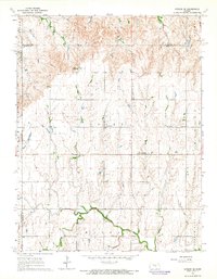
1964 · Gypsum SE
USGS Topo · 1:24,000
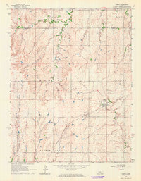
1964 · Tampa
USGS Topo · 1:24,000
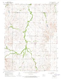
1964 · Roxbury
USGS Topo · 1:24,000

1971 · Durham
USGS Topo · 1:24,000