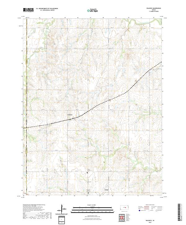
2022 Map of Waldeck
USGS Topo · Published 2022About this map
Lehigh and the nearby settlement of Waldeck anchor this agricultural region of central Kansas, where the landscape is defined by the drainage of the Cottonwood River. The township's heritage is deeply rooted in its religious and community grounds, evidenced by the Mennonite Brethren Church Cem and the Lehigh Township Cem. These sites provide critical touchpoints for genealogists tracing the Mennonite and European immigrant families who settled the tallgrass prairie.
Find a feature on this map
36 named features on this map. Tap any name to fly to it.
Don’t see what you’re looking for? This feature index may not catch every label — zoom into the map to look around manually.
Map Details
Editions of this 2022 Waldeck Map
This is the sole edition of this map. No revisions or reprints were ever made.
Other maps of this area

1889 · Newton
USGS Topo · 1:125,000

1889 · Abilene
USGS Topo · 1:125,000

1894 · Newton
USGS Topo · 1:125,000

1894 · Abilene
USGS Topo · 1:125,000

1955 · Hutchinson
USGS Topo · 1:250,000

1959 · Hutchinson
USGS Topo · 1:250,000
1964 · Gypsum SE
USGS Topo · 1:24,000
1964 · Tampa
USGS Topo · 1:24,000
1964 · Roxbury
USGS Topo · 1:24,000

1971 · Durham
USGS Topo · 1:24,000