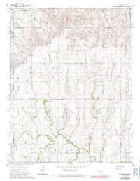
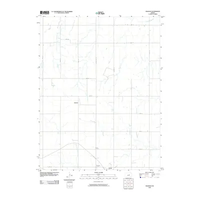
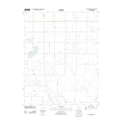
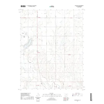
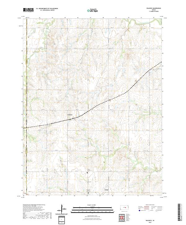
1971 Map of Waldeck
USGS Topo · Published 1985About this map
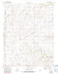
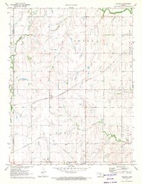
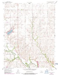
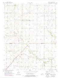
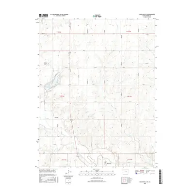
Waldeck sits at the junction of the St Louis Southwestern and the Atchison Topeka and Santa Fe railroads, representing a pivotal era for Marion County transit. This 1971 survey highlights a landscape defined by its agricultural and transport legacy, where the Old Santa Fe Trail cuts diagonally across the prairie north of the rail lines. The drainage systems of the North Cottonwood River and South Cottonwood River carve the terrain into distinct townships including Moore, Battle, and Lehigh. Local genealogy and settlement history are well-preserved through several burial grounds, such as the Lehigh Cem and Mennonite Cem, while the presence of scattered Oil Wells indicates the region's diverse economic interests during the mid-20th century.
Find a feature on this map
20 named features on this map. Tap any name to fly to it.
Don’t see what you’re looking for? This feature index may not catch every label — zoom into the map to look around manually.
Map Details
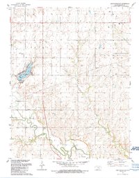
Editions of this 1971 Waldeck Map
2 editions found
Historical Maps of Lehigh Through Time
26 maps found
1957 Lincolnville SW
Marion County, KS
1957 Peabody NW
Marion County, KS
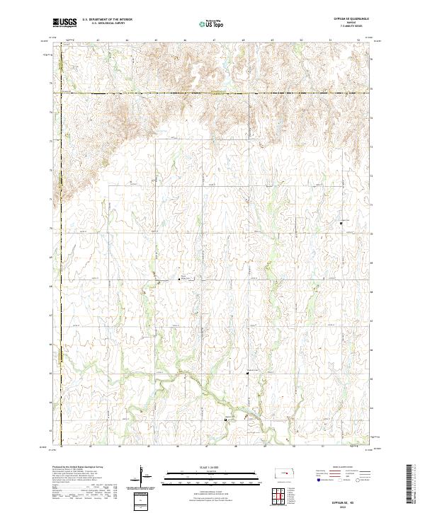
1964 Gypsum SE
Marion County, KS
1971 Waldeck
Marion County, KS
1989 Lincolnville SW
Marion County, KS
1989 Peabody NW
Marion County, KS
2009 Gypsum SE
Marion County, KS
2009 Waldeck
Marion County, KS
2010 Lincolnville SW
Marion County, KS
2010 Peabody NW
Marion County, KS
2012 Gypsum SE
Marion County, KS
2012 Lincolnville SW
Marion County, KS
2012 Peabody NW
Marion County, KS
2012 Waldeck
Marion County, KS
2015 Gypsum SE
Marion County, KS
2015 Lincolnville SW
Marion County, KS
2015 Peabody NW
Marion County, KS
2015 Waldeck
Marion County, KS
2018 Gypsum SE
Marion County, KS
2018 Lincolnville SW
Marion County, KS
2018 Peabody NW
Marion County, KS
2018 Waldeck
Marion County, KS
2022 Gypsum SE
Marion County, KS
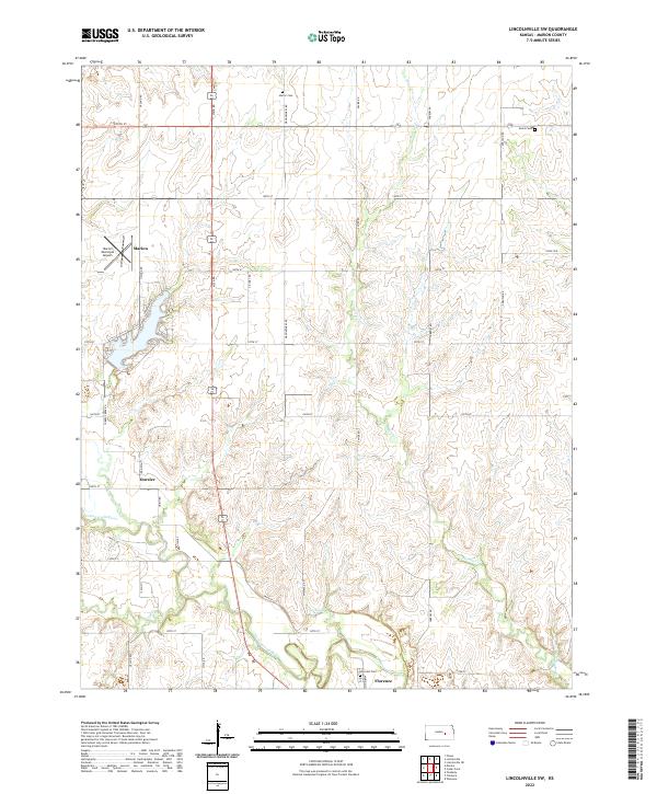
2022 Lincolnville SW
Marion County, KS
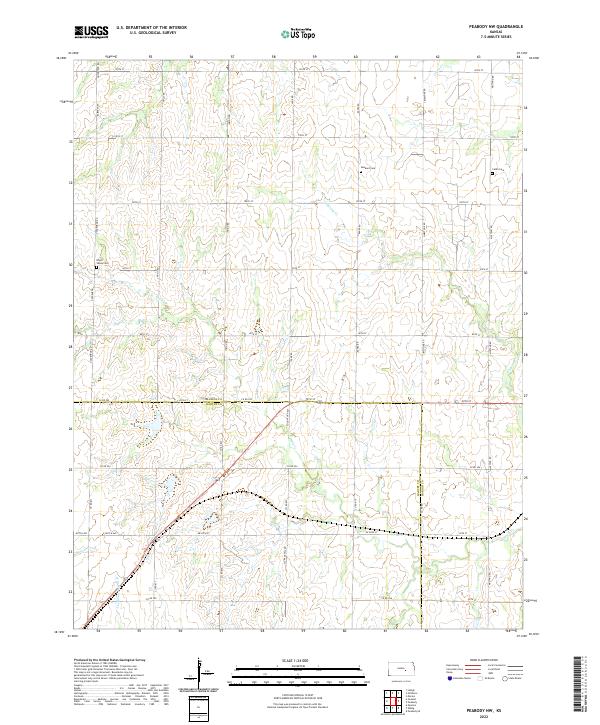
2022 Peabody NW
Marion County, KS
2022 Waldeck
Marion County, KS