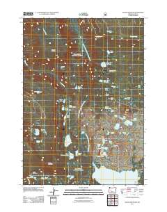
2011 Map of Waldo Mountain
USGS Topo · Published 2011About this map
Waldo Mountain and its surrounding high-elevation basins define this pocket of the Oregon Cascades in Lane County. The drainage network is dominated by the North Fork Middle Fork Willamette River, which flows through a landscape dotted with numerous glacial lakes and alpine flats. High ridges such as Moolack Mountain and prominent rises like Rigdon Butte overlook a series of notable water bodies including the Upper Erma Bell Lake, Middle Erma Bell Lake, and Lower Erma Bell Lake chain. Evidence of the region's natural history and land management is visible in named areas like Taylor Burn and the open expanses of Moolack Flat. This map provides a detailed view of the remote backcountry and the Forest Service road network, including Road 2417 and Road 519, that provides access to the Waldo Meadows area and the headwaters of Fisher Creek.
Find a feature on this map
60 named features on this map. Tap any name to fly to it.
Don’t see what you’re looking for? This feature index may not catch every label — zoom into the map to look around manually.
Map Details
Editions of this 2011 Waldo Mountain Map
This is the sole edition of this map. No revisions or reprints were ever made.
Other maps of this area

1925 · Waldo Lake
USGS Topo · 1:125,000

1930 · Maiden Peak
USGS Topo · 1:125,000

1934 · Maiden Peak
USGS Topo · 1:125,000

1955 · Chucksney Mtn
USGS Topo · 1:62,500

1955 · Crescent
USGS Topo · 1:250,000

1956 · Waldo Lake
USGS Topo · 1:62,500

1957 · Crescent
USGS Topo · 1:250,000

1958 · Crescent
USGS Topo · 1:250,000

1958 · Roseburg
USGS Topo · 1:250,000

1959 · Roseburg
USGS Topo · 1:250,000