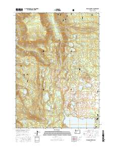
2017 Map of Waldo Mountain
USGS Topo · Published 2017About this map
Willamette National Forest encompasses this high-elevation landscape in the Cascade Range, where the northern shore of Waldo Lake meets a complex network of glacial basins and volcanic peaks. The area is defined by its extensive water systems, including the Salmon Lakes, Lower Eddeeleo Lake, and the cluster of Erma Bells lakes. Landform features like Waldo Mountain and Irish Mountain provide significant relief above the surrounding flats and meadows. This 2017 survey shows a landscape primarily managed for conservation and recreation, evidenced by the presence of the Jim Weaver Loop (Waldo Lake) and various forest service routes such as Natl Forest Develop Road 2417 Rd. The map also captures several designated meadows, including Waldo Meadows and Moolack Flat, which break the dense forest cover near the headwaters of Fisher Creek and Moolack Creek.
Find a feature on this map
90 named features on this map. Tap any name to fly to it.
Don’t see what you’re looking for? This feature index may not catch every label — zoom into the map to look around manually.
Map Details
Editions of this 2017 Waldo Mountain Map
This is the sole edition of this map. No revisions or reprints were ever made.
Other maps of this area

1925 · Waldo Lake
USGS Topo · 1:125,000

1930 · Maiden Peak
USGS Topo · 1:125,000

1934 · Maiden Peak
USGS Topo · 1:125,000

1955 · Chucksney Mtn
USGS Topo · 1:62,500

1955 · Crescent
USGS Topo · 1:250,000

1956 · Waldo Lake
USGS Topo · 1:62,500

1957 · Crescent
USGS Topo · 1:250,000

1958 · Crescent
USGS Topo · 1:250,000

1958 · Roseburg
USGS Topo · 1:250,000

1959 · Roseburg
USGS Topo · 1:250,000