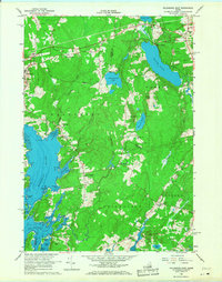
1965 Map of Waldoboro East
USGS Topo · Published 1968About this map
The Medomak River and its convoluted tidal estuaries dominate this mid-coast Maine landscape during the mid-1960s. The village of Waldoboro sits on the western edge of the sheet, while the Maine Central railroad cuts across the northern landscape through Warren and past Warren Station. This period shows a rural economy still marked by numerous Gravel Pits and dispersed small settlements like South Waldoboro and Lawry.
Find a feature on this map
47 named features on this map. Tap any name to fly to it.
Don’t see what you’re looking for? This feature index may not catch every label — zoom into the map to look around manually.
Map Details
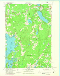
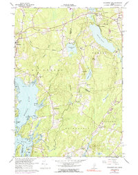
Editions of this 1965 Waldoboro East Map
3 editions found
Other maps of this area

1904 · Monhegan
USGS Topo · 1:62,500

1904 · Tenants Harbor
USGS Topo · 1:62,500

1904 · Rockland
USGS Topo · 1:62,500

1906 · Tennant Harbor
USGS Topo · 1:62,500

1906 · Monhegan
USGS Topo · 1:62,500

1906 · Rockland
USGS Topo · 1:62,500

1913 · Waldoboro
USGS Topo · 1:48,000

1915 · Waldoboro
USGS Topo · 1:62,500

1941 · Rockland
USGS Topo · 1:62,500

1941 · Waldoboro
USGS Topo · 1:62,500