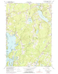
1965 Map of Waldoboro East
USGS Topo · Published 1991About this map
The estuarine fingers of the Medomak River and Back River define the coastline of this mid-coast Maine landscape during the mid-1960s. The region is characterized by a mix of tidal flats and inland freshwater bodies like Sidensparker Pond and South Pond, with several hills such as Willett Hill and Howard Hill rising above the shore. Smaller settlements and crossroads including South Waldoboro and Wentworth Corners are connected by a network of rural roads and the Maine Central Railroad Grade. Numerous gravel pits scattered throughout Warren and Waldoboro indicate a persistent local extraction industry. Along the jagged shoreline, family-named landmarks like Dutch Neck, Jones Neck, and Boot Neck separate the coves, while islands such as Hungry Island and Wolsgrover Island sit just offshore, reflecting the deep-rooted maritime and agricultural geography of Lincoln and Knox Counties.
Find a feature on this map
57 named features on this map. Tap any name to fly to it.
Don’t see what you’re looking for? This feature index may not catch every label — zoom into the map to look around manually.
Map Details
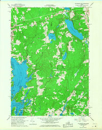
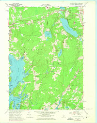
Editions of this 1965 Waldoboro East Map
3 editions found
Other maps of this area

1904 · Monhegan
USGS Topo · 1:62,500

1904 · Tenants Harbor
USGS Topo · 1:62,500

1904 · Rockland
USGS Topo · 1:62,500

1906 · Tennant Harbor
USGS Topo · 1:62,500

1906 · Monhegan
USGS Topo · 1:62,500

1906 · Rockland
USGS Topo · 1:62,500

1913 · Waldoboro
USGS Topo · 1:48,000

1915 · Waldoboro
USGS Topo · 1:62,500

1941 · Rockland
USGS Topo · 1:62,500

1941 · Waldoboro
USGS Topo · 1:62,500