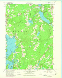
1965 Map of Waldoboro East
USGS Topo · Published 1974About this map
The Medomak River and its intricate tidal flats define the western landscape of this mid-coastal Maine region during the 1960s. Small, dispersed settlements like South Waldoboro and Wentworth Corners are connected by a network of local roads and the prominent Central Maine route. The map documents a landscape transitioning from agrarian and industrial roots, as seen by the numerous Gravel Pits and the trace of an Old Railroad Grade near Warren Station.
Find a feature on this map
49 named features on this map. Tap any name to fly to it.
Don’t see what you’re looking for? This feature index may not catch every label — zoom into the map to look around manually.
Map Details
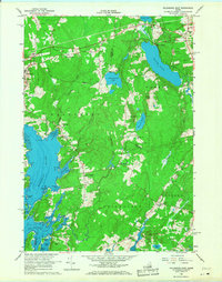
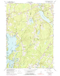
Editions of this 1965 Waldoboro East Map
3 editions found
Other maps of this area

1904 · Monhegan
USGS Topo · 1:62,500

1904 · Tenants Harbor
USGS Topo · 1:62,500

1904 · Rockland
USGS Topo · 1:62,500

1906 · Tennant Harbor
USGS Topo · 1:62,500

1906 · Monhegan
USGS Topo · 1:62,500

1906 · Rockland
USGS Topo · 1:62,500

1913 · Waldoboro
USGS Topo · 1:48,000

1915 · Waldoboro
USGS Topo · 1:62,500

1941 · Rockland
USGS Topo · 1:62,500

1941 · Waldoboro
USGS Topo · 1:62,500