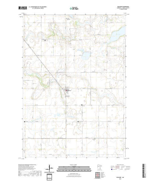
2022 Map of Waldorf
USGS Topo · Published 2022About this map
Waldorf sits at the center of this southern Minnesota landscape, surrounded by an orderly grid of section lines and agricultural roads. The town's religious and community life is anchored by locations like the First Lutheran Church, with its associated First Lutheran Church Cem, and the Freedom Lutheran Church to the north. The area is defined by a dense concentration of family-named and local burying grounds, including Vivian Cem, Zoars Cem, and Hendrickson Cem, which serve as vital markers for genealogical research.
Find a feature on this map
53 named features on this map. Tap any name to fly to it.
Don’t see what you’re looking for? This feature index may not catch every label — zoom into the map to look around manually.
Map Details
Editions of this 2022 Waldorf Map
This is the sole edition of this map. No revisions or reprints were ever made.
Other maps of this area

1950 · Mankato East
USGS Topo · 1:62,500

1951 · Mankato East
USGS Topo · 1:62,500

1953 · Saint Paul
USGS Topo · 1:250,000

1954 · Mason City
USGS Topo · 1:250,000

1957 · Mason City
USGS Topo · 1:250,000

1958 · Mason City
USGS Topo · 1:250,000

1959 · Saint Paul
USGS Topo · 1:250,000

1966 · Waseca
USGS Topo · 1:24,000

1966 · Janesville
USGS Topo · 1:24,000

1967 · Minnesota Lake
USGS Topo · 1:24,000